
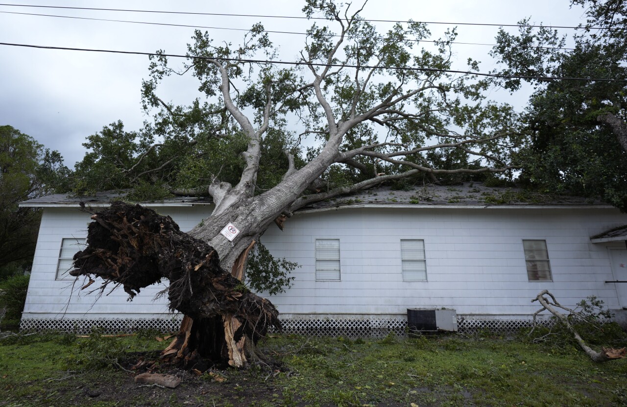
UPDATE: A confirmed tornado touched down in Western New York on Wednesday as the remnants of Hurricane Beryl come through the region.
The tornado touched down in the area of North Collins early Wednesday afternoon. According to the 7 Weather team, this is the first tornado we've seen in the region since 2022.
Find the most up-to-date weather information here as we track the severe weather.
ORIGINAL: On June 28, 2024, the National Hurricane Center issued its first advisory for Tropical Storm Beryl. The storm strengthened to a Category 5 Hurricane at one point and traveled over the Windward Islands, Jamaica, The Cayman Islands, the Yucatan Peninsula, and came onshore in Texas early Monday morning.
The remnants of this storm will bring abundant tropical moisture to Western New York on Wednesday.
The best chance for heavy rain will be toward the Lake Ontario shoreline. The best chance for severe weather will be across the Southern Tier.
The Storm Prediction Center has just about all of WNY in a Slight Risk for Severe Weather on Wednesday. Some of the storms in the afternoon could be strong to severe with isolated tornadoes possible. The last tornado in WNY was on July, 28, 2022, in Java. The Hamburg Fairgrounds tornado was back on July 20, 2017.
It will be very warm and muggy across the entire region and the threat of severe storms will be elevated during the afternoon hours.
